
Running the Bukhansan Traverse

I have been eyeing Bukhansan national park since we began planning our trip to come to Korea.
Overlooking Seoul and the Han river, Bukhansan means “Mountains North of the Han River”. The 30 squared miles that this park covers are full of mountains, temples and hiking trails.
On AllTrails, I was able to find a 20 mile traverse traveling South to North, long ways through the National Park
*Bukhansan, Dobongsan, Mount Suapean Summit on AllTrails
I decided to start at the Northern end of and work my way South (It would be a shorter bus ride home).
Sarah and I did a short hike going up up Bibong peak, in the southern region of the park when we first arrived. I’m glad we were able to get this hike in, because It gave me a glimpse of what to expect. Very steep, and technical with a spider web confusing trails making it difficult to tell where you need to go.

If you’re familiar with the Presidential Traverse in the White Mountains in NH, this would be like the Korean version of that.
Taking the Subway up to the Uijeongbu City Hall station, I would walk to the Seongbulsa Temple. Once there, I would finally hop on trail and begin to make my way to Sapaeson Peak.

Following the river to Seongbulsa Temple
Making a right at the Temple, you’ll begin your climb up. It was in the teens when I started, so I had no complaints about this 2 mile “warmup” to Sapaesan.

View from Looking South on Sapaesan Mountain
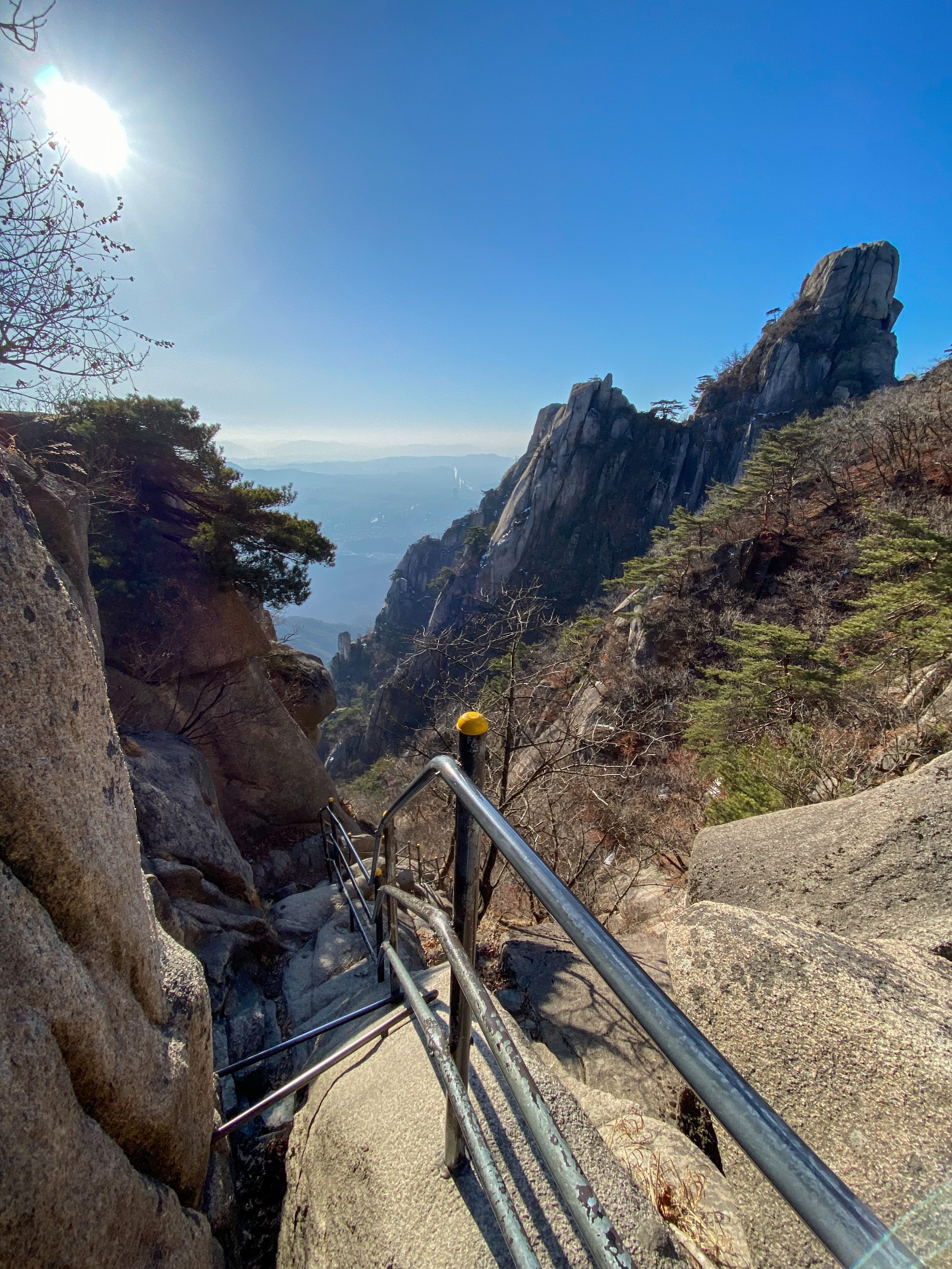
From here you will continue over extremely technical and rocky terrain.. But the views are AMAZING

After 2-3 more miles, you will come to a fork in the trail with a sign post. I had to use google translate, but basically if you go left, it is extremely hard (You actually have to climb a bit), and if you go right, it bypasses the hard section.
If you comfortable with heights, GO LEFT!
The next .25 miles were absolutely my favorite part of the Trail!
Just be careful. You will literally be climbing up and down this section on very steep terrain. If I had a heavy backpack, I would probably go around.


Once finished with the hard part, you begin a steady drop in elevation heading towards the town of Ui-Dong.

Pay attention to your map on the way down. I guess they have re-routed some trails, so I did get a little off following my GPS. Just make sure you go past the Wontongsa Temple.
At about mile 8.5, you connect to Samyang-ro 170-gil road. Make a right and stay to the left as you continue up. This is the ONLY PLACE FOR WATER, so stop into one of the cafes or restaurants along the road to re-supply.
From here, you will begin the second major climb of the traverse, heading up towards Mt. Bukhansan.

Climbing passed Yongdeoksa Temple, you will eventually come to the top of the ridge where you make a left. This will take you to Yeongbong Peak.

View of Bukhansan.
The trail gets BUSY as you close ground towards Bukhansan. You can stop at a ranger station to relax and take a break with all the Korean trekkers.

With lots and lots of stairs, and people, this section is slow going.
Eventually though, you will find yourself at the base of Bukhansan.

The lines going to the summit were CRAZY
I went about halfway up and got tired of waiting in line, so I hopped off trail, took a few pictures, and ultimately decided that dealing with the crowds wasn’t worth it. So, I turned around and continued my run.
From here on you follow the Bukhansanseong Wall for the next few miles. This wall was built in 1711 for defending against the Japanese, but this fortress spanning 12km over the peaks around Bukhansan would never see a battle.


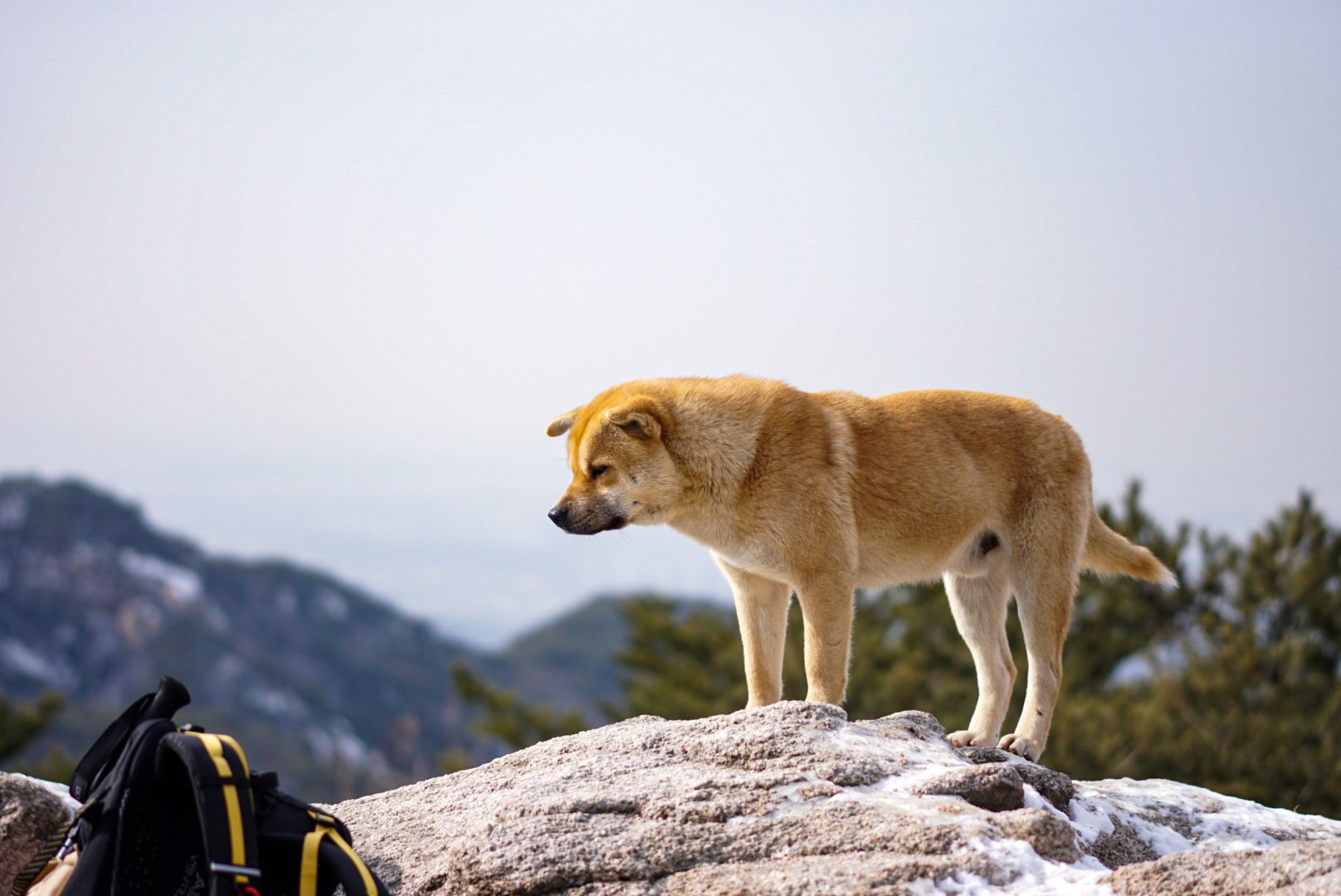
Eventually, you will be greeted by a strange balancing boulder and some very chill dongs on top of Bibong Peak. This would pretty much be the last peak you will ascend before descending down to Bulgwang-Dong.

This trek is definitely not for the average person going on a hike. I traveled extremely light, and ran what sections I could. It still ended up taking me 8+ hours to complete. Doing it in February really helped because I did not need to carry extra water due to the cold.
All in all the trail was 18.5 miles in length with 9,069ft of climbing (I think my watch my have over estimated a bit).
